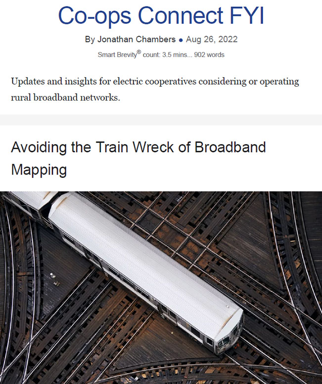
Avoiding the Train Wreck of Broadband Mapping
August 25, 2022
For the past few weeks, I have been describing some looming problems with the new FCC broadband maps.
But the state maps are no better.
In fact, when we have examined some of the most ballyhooed state maps, we have discovered more, albeit different, errors.
I foresee a train wreck on the horizon, a competition between the FCC’s maps and state maps, largely because of:
1. The difficulty of the task.
2. The inconsistencies in methodology.
3. The secrecy surrounding all these efforts.
Go deeper:
There are numerous mapping consultants working with state and federal agencies on maps.
- CostQuest was selected by the FCC for the location fabric, which is the underlying layer for the FCC Broadband Data Collection being used to produce the national broadband map.
- LightBox developed a methodology with the Georgia Technology Authority and has also been chosen to develop broadband maps for Texas, Alabama, and Montana.
- Geo Partners developed a methodology with Washington state and has also worked with Florida, Louisiana, Minnesota, Wisconsin, and Nebraska.
The Problem with the Maps
There are two elements to these maps:
1. The identification of broadband serviceable locations.
2. The level/type of service currently available at each location.
So what?
The various consultants are using different methodologies and have access to different types of data. They are not producing the same maps.
Why it matters:
All of us in the industry have a stake in the government producing accurate maps.
- Yes, but: The current approach by the FCC and the states will instead produce conflict, confusion, and delay.
- Delay in the maps means delay in the allocation of BEAD funds.
There is a better way.
Three Steps to Better Maps
How to produce better broadband maps:
1. Agree on what we’re measuring.
2. Share data/make it public.
3. Don’t punish unserved communities by making them wait. Include a look-back provision for construction in unserved areas.
Go deeper:
1. There is no consistent methodology for broadband mapping between the federal and state governments or across the states.
- The major mapping consultants do not use a consistent methodology.
- Even worse, the more work that is done by each of the consultants in producing inconsistent maps, the harder it will be to knit it all together into a coherent whole.
- For example, the FCC’s broadband data collection is dependent on the new location fabric. Unfortunately, even if the location fabric is corrected and improved, the massive data collection will not match the improved location fabric.
- The same is true with each of the methodologies used by consultants.
Why it matters: Agreement on what counts as a broadband serviceable location and how to collect that underlying data is an essential first step.
But the government has omitted that step.
2. Still worse, the methodologies and data sets used by the consultants, state, and federal agencies are secret.
- I wouldn’t spend another dime of state or federal money on map preparation until there is agreement that all the data will be made public. Public funds are being used to produce these maps.
- The least we can expect for the more than $100 million of public money being spent on broadband maps is for the public to own the maps and have access to both the methodologies used and the data that has been collected.
Why it matters: Data shouldn’t be proprietary if it is gathered with public funds. These are not the nation’s code word secrets.
If a state or federal agency cannot make such data public, the data should not be used.
3. Agreement on methodology and data will take time. Producing accurate maps will take time.
- The BEAD program is stuck behind this slow-moving train, but it need not be.
- Specifically, the Infrastructure Act states: “On or after the date on which the broadband DATA maps are made public, the Assistant Secretary shall allocate to eligible entities…the amount[s] appropriated”.
- NTIA and the FCC can, under the BEAD program, identify those areas that can be funded and require that states fund all areas that were unserved as of the date of publication of the maps.
Why it matters: Unserved rural households have waited long enough.
- While many state and federal programs (I’m looking at you, ReConnect) require that an applicant for funding delay construction until the application process is complete, that delay means unserved communities go without.
- It is an unnecessary and unconscionable choice by policymakers.
The bottom line:
NTIA can require there be a look-back provision in all BEAD programs, so that delay is not built into future state or federal programs.
The Need for a Federal Convenor
The big picture:
NTIA or the White House has a vital role to play.
- Either NTIA or OSTP could convene interested parties for the purpose of agreeing on a broadband mapping methodology, on the sources of data available, and how best to produce maps that will be trusted and avoid the interminable challenges at the federal and state levels.
My own preference for mapping is to use electric utility active meter data as the broadband serviceable locations, and the FCC’s current data collection, which identifies technologies and the standard broadband capability of those technologies.
But mostly, I would defer to any approach that produces reliable maps of reliable broadband service so that we can get on with the business of building networks.